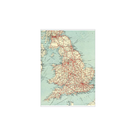
(A2 (59x42cm)) British Railways network map 1950s (Poster Print)

About our links
Some links on this site are affiliate links. If you buy something through them, we may earn a small commission from the shop, at no extra cost to you. Prices and stock come from the shops and can change.
(A2 (59x42cm)) British Railways network map 1950s (Poster Print)
Media Storehouse
£23.99 at OnBuy.com
Go to OnBuy.com

The price comes from the shop and can change. Check price, size and delivery on the shop's page before you order.

A map showing the rail lines across the British Railway network during the 1950s. Tags: Br, British Railways, Map, Network, Routes. Copyright STEAM…


You might also look at